
Land Geography of Tawang
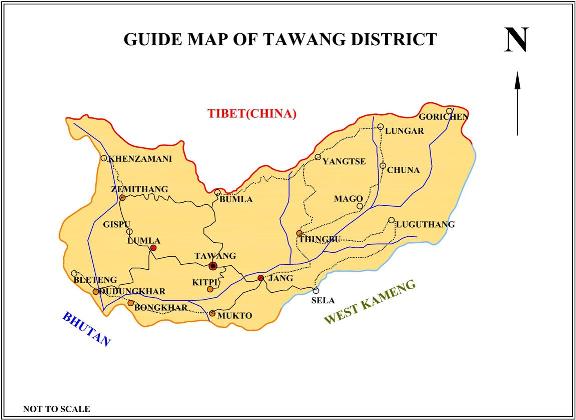
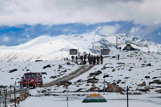
Phsiography:- Tawang is a thinly populated mountainous tract lying roughtly between the latitude 27 degree 45'N and the longitude 90 degree 15'E on the Northwest extreme of Arunachal Pradesh. The district is surrounded by Tibet in the North East, Bhutan in South West and West Kameng district in the south East.
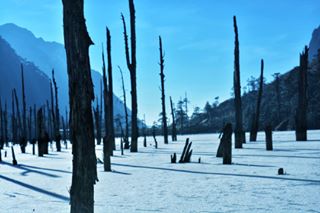
Climate:- Owing to the rapid changes in the nature of the terrain there are variations in the climatic conditions within short distances.However, on the basis of agro-climate parameters such as, physiography, soil, climate, natural vegetation and prevalent cropping pattern, a major portion of Tawang district falls under Agro-climate sub-region Viz, Higher Himalayan region (Alpine) which experiences a cool and pleasant climate.
Topography:- The topography of the district represents:
River:- Tawangchu and Nyamyanjchu are the two main rivers in the district. Majority of the villages are concentrated in the basin of the these two valleys.
Soil:- The soil of the district is classified as Under: